List of the Delaware Water Gap Hiking Trails
Once we started hiking a couple years ago, it only made sense that we’d set our eyes on the many trails of the Delaware Water Gap. After all, we could only hike the limited trails of Pyramid Mountain so many times before we needed to mix things up.
Last summer we took our adventures on the road and want to continue doing so moving forward, as we look for more challenging trails. Our first stop was some of the Delaware Water Gap hiking trails, both on the Jersey side and in Pennsylvania.
Delaware Water Gap Hiking Trails
There are so many trails along or near the Delaware Water Gap, it’s almost intimidating trying to find where to start. The best way? Read our reviews and suggestions below.
No, we haven’t done all of these. Not even close. But here’s our list of goals for 2019 and we’ll update as we go along.
If you’ve tackled any of these, throw a comment below and we’ll definitely respond!
Delaware Water Gap NJ Hiking Trails
Originally, I thought there were way more options on the PA side, and while they’re closer to the actual Delaware River, there aren’t quite as many. NJ has many more hiking trails, but few close to the river. So, it depends on what you’re looking for and the views you want to see.
Mount Tammany Summit (Red Dot Trail)
3.4 miles
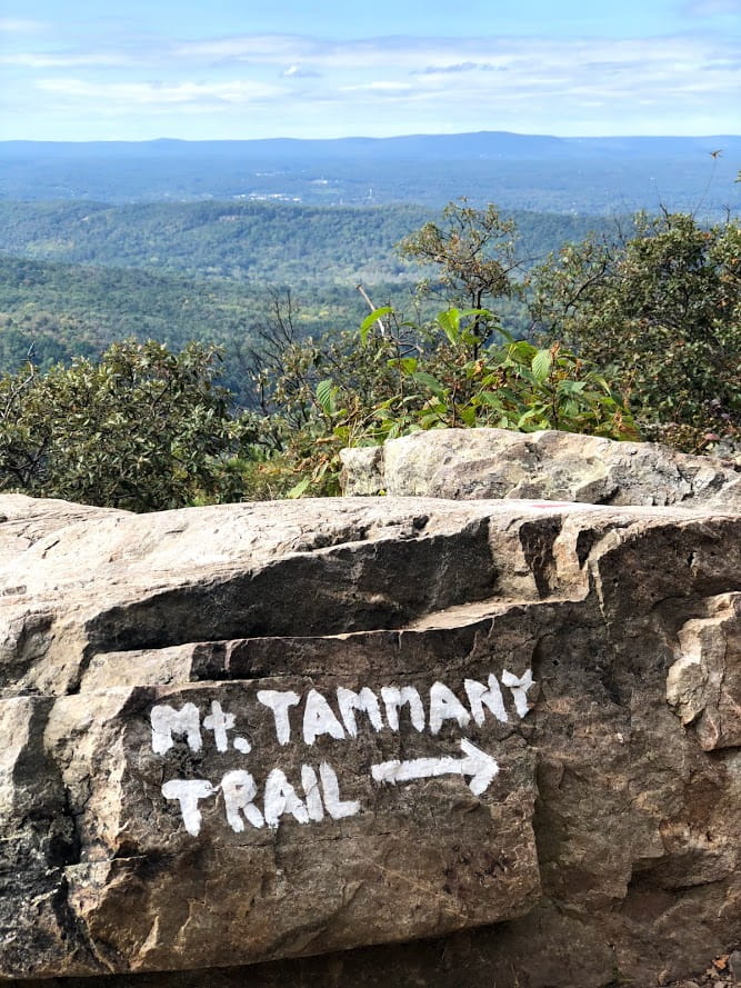
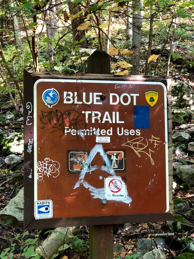
This loop actually consists of two different trails, the Red Dot Trail and the Blue Dot Trail. With some of the most impressive views, it’s well worth the trip. We definitely recommend (as do many others) going up the Red Dot Trail and going down the Blue Dot Trail, as the Red Dot Trail has more steep and rockier points, which makes it difficult to descend.
Pro Tip:
As one of the most popular trails in the area—and with good reason!—the small parking lot will fill up early on nice weekends in the spring, summer, and fall, so be sure to get there early.
Sunfish Pond
10.9 miles (Loop)
There are a few ways to get to Sunfish Pond, which is a glacial pond 1,000 feet above the surrounding area, making it one of the most beautiful ponds in the area. But, most of the trails leading there, including the 10.9-mile loop from Mt. Tammany, are quite the journey.
Even NJHiking.com recommends you follow the Appalachian Trail (WHITE), which is a 7.6-mile loop. Either way, be prepared. This is not for the faint of heart and should not be your first hike.
Garvey Springs Trail
1.2 miles
This is a shortcut to Sunfish Pond and it’s a little off the beaten path. And, according to the maps we’ve looked at, it’ll be a further trip for most people to the parking lot. But at least it’ll save you the long distance of some of the other trails.
While this trail does offer a shortcut, it is a steady climb up roughly 1,000’ to a high altitude of 1,401’. At points it’s very rocky, so be ready for a challenge. Plus, the 1.2 miles will only get you to the Sunfish Pond Trail mentioned above. However, you’ll only need to be on it a short distance before reaching the pond. Then, you can either turn back the way you came, or walk along the pond on the Sunfish trail until you reach the 1.8-mile Douglas Trail, which will bring you back to the parking lot.
All told, that loop seems like it’s about five miles long, but we couldn’t find any specifics. That means, depending on your trip, it’s a minimum of 2.4 miles to get back to your car.
Coppermine Trail
2.0 miles
This trail starts further down the road from the Garvey Springs Trail. Keep in mind that the 2 miles listed is not a loop, so in reality it’s 4 miles minimum to get back to the parking lot. You can create a loop with this trail, a portion of the Appalachian Trail and then the Kaiser Trail. While we couldn’t find specific measurements, some comments on other sites said that was roughly 7.7 miles, so be prepared for that length.
Rattlesnake Swamp
4.8 miles (Loop)
At its peak, this trail reaches 1,371’. But, for those of you not looking for an intense climb, have no fear. You start at about 1,100’, if not a little higher, so it’s not that much of a climb. For portions of this hike, you’ll be on the Appalachian Trail and the loop takes you to Catfish Pond, another serene pond 1,000’ or higher than the surrounding area.
Buttermilk Falls, Crater Lake, and Hemlock Pond
7.2 miles (Loop)
While we haven’t hiked this trail yet, this is definitely on our list for 2019. Apparently, you start with a winding car ride through the Delaware Water Gap National Recreation Area. The Hiking Project, part of the REI Co-op Family, has a great review of this trail.
But, in short, it seems like the first mile and a half is uphill, but with the most difficult parts made easier by wooden steps and rails. During this point, you’ll find the tallest waterfall in New Jersey and be able to climb up alongside it to two viewing platforms. You’ll also get to see both the Hemlock Pond and Crater Lake, a glacially formed lake, and have plenty of views of the Kittatinny Mountains.
Once we tackle this behemoth, we’ll update with pictures and our recommendations.
South Stokes Loop
10.7 miles (Loop)
Park at Struble Road for the shortest walk to the actual trail. Otherwise, you’ll have to park on the other side of the loop and hike another mile or more to get to this trail.
This is a climb up to the peak of 1,226’, but the reviews say that it’s a gradual climb. And, if you’re not quite up for the full 10.7 miles, you can just about cut it half by using the Jacob’s Ladder Trail.
High Point State Park
8.0 miles (Loop)
Along this trail is the High Point Monument and an obelisk dedicated to all of New Jersey’s war veterans. You can climb the stairs in the obelisk from Memorial Day to Labor Day, though some reviews said it closes during off hours and during high winds. With parking near the monument, this section of the trail is busy during nice weekends, but is worth it because you can see Pennsylvania, New Jersey, New York and the Catskills.
Pro Tip:
You don’t have to do the whole 8-miles, as there are many places to enter the trail at different locations and create shorter loops for you and your family.
Blue Mountain Trail
17.5 miles
This is a new trail as of 2015 and has some portions that haven’t been worn down, so it can be tough on your ankles according to the reviews we read. If you don’t want to hike the whole 17.5 miles, there are short cuts available, that include the Stokes State Forest Loop (11.1 miles) or the Stony Brook Trail. Just be sure to bring a map and a compass.
Delaware Water Gap PA Hiking Trails
From what we’ve read and the people we’ve talked to, there are more waterfalls on the PA side of the Water Gap. That means lots of photo ops that even we can’t screw up. In our limited experience, and from the photos we’ve seen online, it seems that the PA side has more dense woods as well, but we’ll have to update you on that hypothesis as we keep on hiking.
McDade Recreational Trail
31.4 miles
This park-spanning trail has a little bit everything as you walk along the Delaware River. But keep in mind that this is not a loop, so you will have to turn back at some point. For the most part this is a relatively flat trail, as it only gets up to about 880’. But there are some sections with different terrain and others with a bit of climbing required.
Tumbling Waters
2.9 miles (Loop)
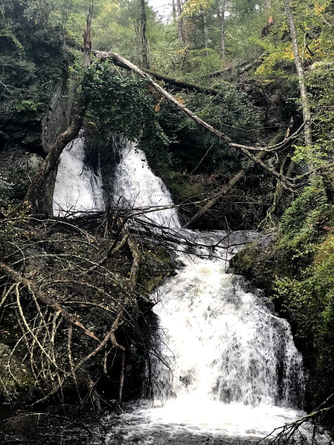
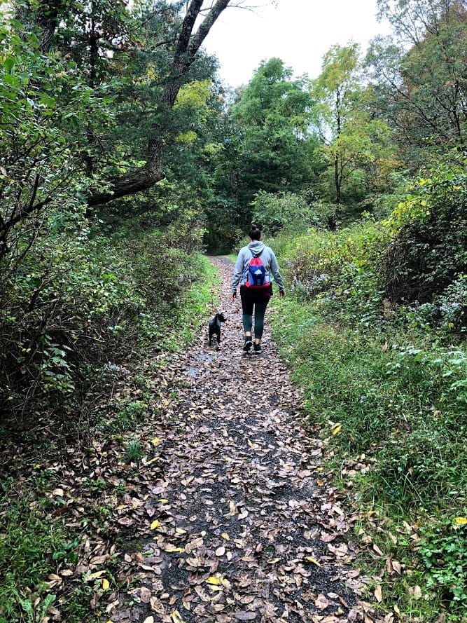
On our trip to the Poconos and the Delaware Water Gap, this was one of the trails we hiked and it was beautiful. As you can see from the photos, there were at least two different water falls. Plus, there are two ponds you come across as well to break up the scenery.
It’s not exactly a tough climb and the terrain is pretty easy to traverse the whole time, but this was Day 2 of our hiking adventure and we’re not sure we could’ve handled much more of a climb. The three miles are easy to handle, and the scenery is well worth it.
Two Ponds Loop
1.8 miles (Loop)
This loop is inside of the Tumbling Waters Trail, and you actually walk along that trail for some portion if you choose the longer trail. This shorter loop doesn’t have any waterfalls but does walk around the two ponds. Plus, the distance and lack of a climb might be a little more family friendly if you have young children.
Mount Minsi Loop
5.2 miles (Loop)
This is a challenging climb, as at its peak, you’ll be at 1,440’, though it’s about 1,000’ up from the parking lot. There are some ways to reduce the distance, but in doing so you will miss out at the best views and the peak.
We haven’t done this yet but want to soon. We’ll post images and more of a review once we’ve hiked this trail.
Hidden Lake Trail
1.9 miles
A relatively flat hike around this hidden lake with beautiful scenery, this is a stand-alone trail about halfway between the Mount Minsi Trail and the Tumbling Waters Trail. This is a great hike with young children (if they can handle the distance) as it only gets up to about 600’ and without any serious uphill battles.
Ridgeline Trail
3.4 miles (Loop)
Here, you have a few different options. This is a climb and there’s lot of ups and downs, but based on the reviews, it doesn’t seem like it’s a straight climb up at any point.
You can also use the Scenic Gorge Trail, which connects and branches off at a couple different locations, to shorten the distance.
Pro Tip:
Even though this is a loop, the distance is a little deceiving, as it doesn’t bring you all the way back to the parking lot. Based on the maps, it looks like you’ll have to walk along the street for a little while.
Cliff Park Trail
2.3 miles
There are a couple options when you get to this area of the Delaware Water Gap. For instance, the more common hiking trail is the Cliff Trail, which, according to what we’ve read (as we haven’t hiked this trail yet), maintains a solid distance away from the cliffs except for a few specific overlook points.
On the other hand, the Cliff Park Trail (which we haven’t hiked yet either) is less busy and runs parallel to the Cliff Trail, only much closer to the ledge. As a result, please be careful. The views are supposed to be amazing, but don’t take selfies dangerously close to the ledge like some of the people we’ve seen in the news recently.
Pro Tip:
Keep in mind that this trail is not a loop, so the total distance to get back to your car is just under five miles.
Best of Cliff Park and Raymondskill Falls
6.2 miles (Loop)
This is a combination of a couple trails that offers the sights and sounds of two waterfalls, including the largest in Pennsylvania that’s 150 feet high and walking along the cliff that offers some of the best views of the Delaware River. Plus, there are options to cut your hike short. And, with only one extended incline, this intermediate trail offers some of the best views without much exertion, making it one of the most popular hiking trails in northeastern PA.
Appalachian Trail in PA and NJ
The Appalachian Trail is almost 2,200 miles long and cuts through 14 different states. A sizable chunk of that trail slices through Pennsylvania and New Jersey, especially through the Delaware Water Gap. The longest chunk is part of the NY-NJ Trail Conference and stretches for roughly 160 miles along the Gap and then along the NY-NJ border.
Some of the trails listed on this page share a path with the Appalachian Trail for stretches, and in other sections the AT connects other trails. Check out some of the maps on websites such as The Hiking Project, which is the best one we found.
Delaware Water Gap Waterfalls
There are way more waterfalls in the different hikes than we thought there would be. Not that we didn’t there were any, but the water cutting along these trails is so beautiful that, silly us, we thought that people might talk a little bit more about the good things NJ has to offer and not just The Jersey Shore and The Sopranos.
It seems like at least half of the trails have waterfalls or ponds, so be sure to check a few couple resources to see which has what and decide which you want to see. I will say that Tumbling Waters was one of our favorite hikes because it had a little bit of everything, including two waterfalls and some peaceful rapids and two ponds if you’re more into resting water. At both spots we took a nice break and just relaxed and took in the scenery.
Delaware Water Gap Weather
The weather at the Delaware Water Gap can swing wildly. According to Intellicast, which has a ton of historical data on weather, the average temperature ranges from an average low of 16 in January to an average high of 85 in July.
Of course, those are just the ranges. For instance, the coldest January averaged 25 below and the highest average was over 100 degrees. So, jus check before you go. And, keep in mind that in the summer the humidity can be brutal. We went the first weekend of October and even then, the humidity in the afternoon was high and added a nice drip of sweat from Mike’s brow.
Things to Do in the Poconos
Mainly, our trip to the Poconos was a chance to get away from the hustle and the bustle. If you’re not outdoorsy, there isn’t a ton to do up there. In fact, over where we stayed, there were only chain restaurants or local establishments that didn’t get the best reviews. So, Chili’s it was!
There’s also the Mount Airy Casino, which was nice enough. Mike told the Uber driver on the way up that if a performer played there that their career was in an obvious downswing. The driver took offense to that, naturally, and didn’t talk too much the rest of the ride even though her ratings listed her as great conversationalist.
We didn’t win anything at the casino. Of course, we go in expecting to lose, but we didn’t win anything, not even a big win on a slot to keep us interested. Later, we found out that’s pretty common, so just be aware before you go in there. Luckily, there are a couple options for dinner that were better than we originally thought they’d be, including the Guy Fieri restaurant.
There’s plenty of antiquing, if that’s your thing. And, of course, plenty of skiing in the winter. The Great Wolf Lodge is an indoor water park and hotel. There are a couple other options of indoor water parks in the area if you’re looking to keep your kids busy and happy.
Going Hiking at the Delaware Water Gap?
Throw a comment below if you’ve been to any of these trails, or if you have other recommendations. And don’t forget to post your hiking images on your favorite social media channel and tag us and we might feature you in an upcoming article!